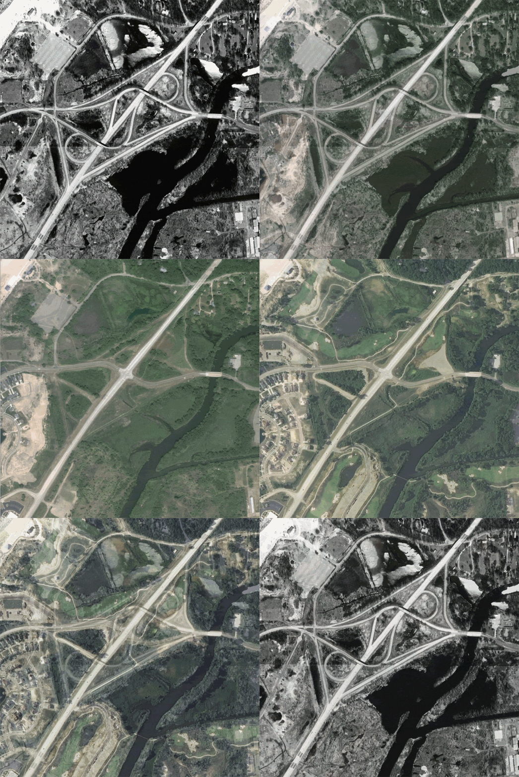
M-63: Klock Rd Interchange Animation
To illustrate the before and after conditions along M-63 north of St Joseph as part of the Klock Rd Interchange removal in 2001–2002, below in an animated composite of three years' aerial photographs of the former interchange: 1997 (courtesy of the US Geological Survey), 2003 and 2011 (both courtesy of the US Dept of Agriculture).

Back to M-63 Route Listing
Waukonda-Klock Expressway, 1953 – map from State Highway Dept plans for the route

