Michigan Highways: Since 1997.

Michigan Highways website header graphic
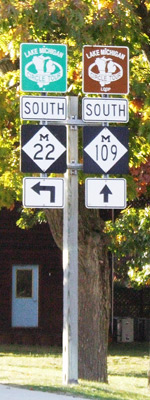
M-22 & M-109 junction route signage in Glen Arbor, Michigan

Former M-111 Route Maps

Jump to: 1939 Route Map (Keweenaw Co) | 1932 Route Map (Bay Co)

1939 Route Map (Keweenaw Co)

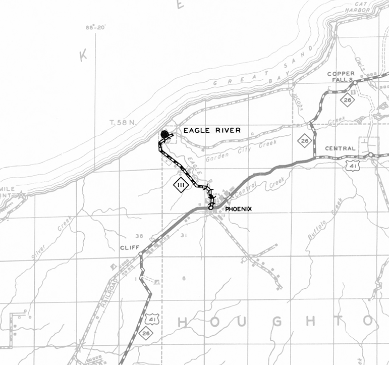
Below is an excerpt of a 1939 Keewenaw County General Highway Map from the Michigan State Highway Department showing the second, short-lived iteration of M-111 connecting US-41/M-26 at Phoenix with Eagle River, the Keweenaw Co seat.

Former M-111 Route Map (1939)
This map presentation copyright ©2024 Christopher J. Bessert, All Rights Reserved. Please do not copy without permission.

1932 Route Map (Bay Co)

Below is a highlighted excerpt from a July 1, 1932 State Trunk Line System map published by the Michigan State Highway Department showing the first iteration of M-111 as a spur route serving Bay City State Park.

Former M-111 Route Map (1932)
This map presentation copyright ©2026 Christopher J. Bessert, All Rights Reserved. Please do not copy without permission.

 
Back to Former M-111 Route Listing.