Former M-135 Route Maps
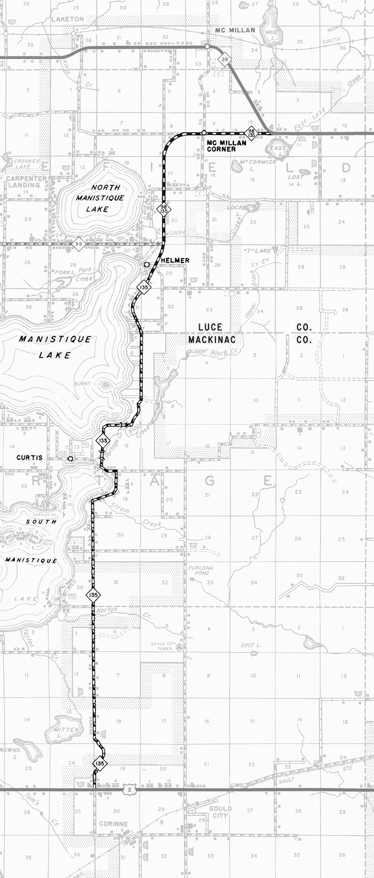
1959 Route Map
Below is a route map showing M-135 as it existed in 1959, it's last full year of existence prior to its decommissioning, using an excerpt from 1950s Michigan state Highway Department maps of Luce and Mackinac Counties. Jump to 1957 Route Map.

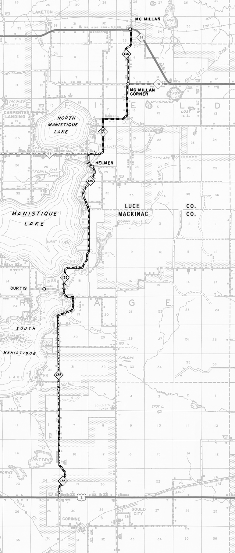
1957 Route Map
Below is a route map showing M-135 as it existed in 1957, approximately three years prior to its decommissioning, using an excerpt from 1950s Michigan state Highway Department maps of Luce and Mackinac Counties. Jump to 1959 Route Map.

Back to Top of Page.
Back to Former M-135 Route Listing.

