

Michigan Heritage Routes
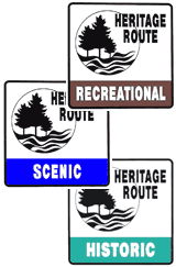 On December 17, 2014, the Michigan State Senate passed House Bill 5072 to change the name from Heritage Routes to Pure Michigan Byways which the Governor signed into law on December 30, 2014.
The transition from Heritage Routes to the new Pure Michigan Byways began in October 2015 and existing Heritage Routes are scheduled to receive new signage in 2015 and 2016. Because of the name change and rebranding, the information formerly featured here has been moved to a new Pure Michigan Byways section.
Jump to: Pure Michigan Byways