

Houghton & Higgins Lake Area, 1939–Present
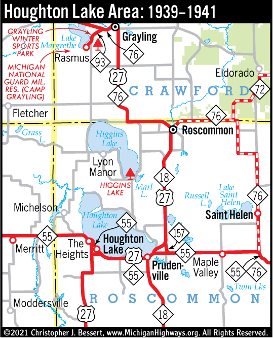
Below is an animated map showing the progression of the changes of the state trunkline highways around the Greater Houghton & Higgins Lakes area in Roscommon and southern Crawford County in the north-central Lower Peninsula. The route changes over the years, especially the realignment of US-27 to the west side of the lakes in 1949 and the short and fleeting, but transitory, existence of M-169 can be confusing without the help of an illustrative map. (The map loops through three times. Hit "Reload" on your browser to restart the animation.)
Jump to: